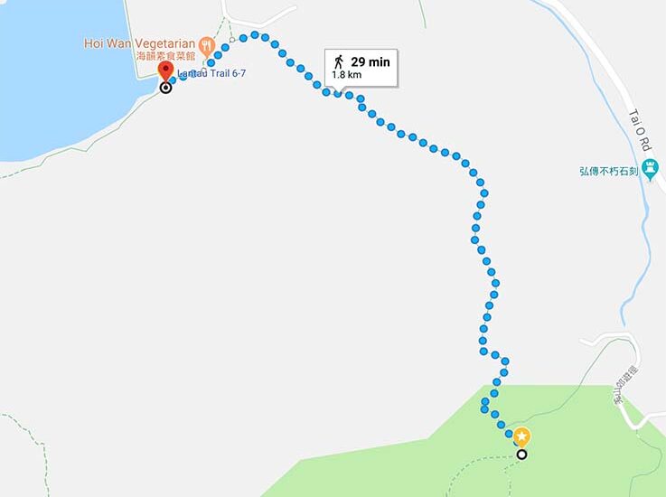
Lantau Trail section 6 takes you down to the old fishing village Tai O. The hike is not very long and mostly downhill. The last part can be a little bit slippery when wet since it is very steep, the upside it is a shaded and an easy hike.
Highlights: The view over Tai O. Finish the section in Tai O is definitely a treat, such a getaway from the busy city.
How to get there: The start is a bit remote and quite far away from Tai O, and the easiest way to do this would be to combine this section with section 5. It is possible to reach the start through Tai O road (take any bus from Tai O or Mui Wo).
How to get home: From Tai O you can take the bus to Mui Wo or Tung Chung. You can also take the boat (check the timetable thought) to Tung Chung.


