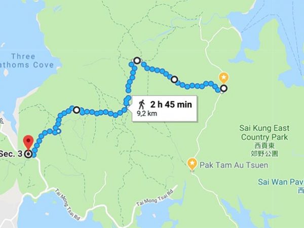
Section 3 has the most hilly landscape of all 10 sections of the MacLehose Trail. You need to climb 3 high peaks and each of them is approximately 400m high: Wa Mei Shan, Lui Ta Shek, and Kai Kung Shan.
Highlights: An extravagant scenery of hills and peaks
How to get there: From Sai Kung Terminus, take bus 94 or 96R, get off at Pak Tam Au at the highest point on the Pak Tam Rd.
How to get home: This section will end in Kei Ling Ha, bus no. 99 or bus no. 299 will take you back to Sai Kung town.


